The beginnings of Roxburgh are in the Dunstan rush that followed Hartley and Riley's discovery of gold in 1862. Miners travelling by foot to the goldfields panned for gold in the streams on the way. A part crossing the Teviot in 1868 set up camp, there were no major gold finds, but enough to hold the men and gradually the population grew.
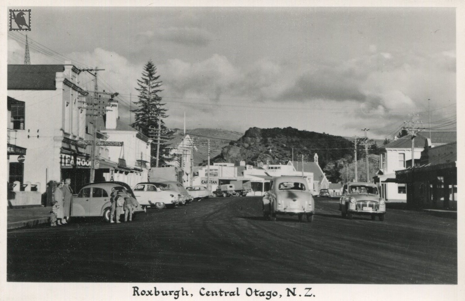
MORE HISTORY; from The Cyclopedia of NZ (Otago & Southland Provincial Districts) 1905 - ROXBURGH - A borough town on the banks of the Molyneux, in the county of Tuapeka, lies one hundred miles northwest from Dunedin. It is forty miles from Lawrence, with which it has daily communication by coach. There is also a coach service to Queenstown, connecting with Alexandra. Most of the settlement is on the western side of the Molyneux, and extends from the river to the foot of the Mount Benger Range.
Roxburgh, which was so named by the first settlers after Roxburghshire, in Scotland, is an old gold-mining settlement, and was opened up at the time of the Dunstan “rush” in 1862. Some of the miners who ventured to the field at that time have resided in the district up to the present day. For over forty years gold mining has been the leading industry, and it is now carried on by the more modern systems of hydraulic sluicing and dredging. Large quantities of gold have been won in and around the district, which is all gold-bearing, but no phenomenal finds have been recorded. Roxburgh—also known as the Teviot—is a great fruit-producing centre; as the climatic conditions and soil are admirably suitable, some of the finest fruit produced in the colony is grown in the district. In fact, this may be said of all the country lying between Island Block and Coal Creek. Agricultural farming is carried on in the flat and undulating country, and the hills are divided into small grazing runs. A bridge built over the Molyneux by the Provicinal Government in the early days, was washed away by the great flood of 1878, but it was replaced by a larger and stronger suspension traffic bridge. Another bridge spans the Teviot creek, which here flows into the Molyneux, and is fairly well stocked with trout.