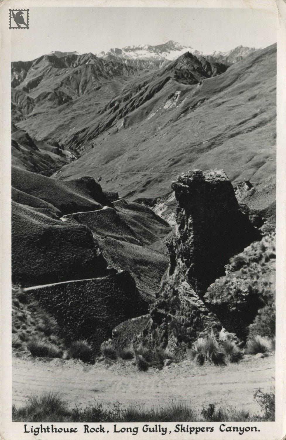
The only nineteenth century road that has remained in continuous use without major upgrading. The road was built to improve access to the upper Shotover River for miners, particularly for those seeking to install large machinery. It also provided a better means of access for those living in the canyon than the existing packtrack (1863). Mining's heyday was over by the time the road was completed but it continued to be used by farmers and tourists and those mining operations that lingered on in the twentieth century.
Although much of the road remains as it did in the nineteenth century, the topography, harsh climate, widening, and regular maintenance have led to the loss of some significant features, including some of its stone walls, famous features intended to prevent vehicles from toppling off the road. Today tourism is the road's biggest user, with many people coming to see the road or use it as a means of access to bungy jumping operations or white water rafting. Skippers Road is an iconic New Zealand road of outstanding heritage significance.