During the last Ice Age about 20,000 years ago, glaciers originating in central Fiordland spread out to the east across the present sites of Lakes Te Anau and Manapouri, dumping great quantities of rock and gravel in long ridges.
When the ice melted, lakes formed behind the ridges. Most of the islands of the lake were created as the glacier wore a long, smooth ramp on the upstream side and plucked rock away on the downstream side, to leave steep sided cliffs.
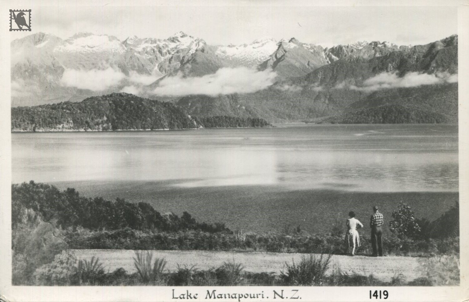
Manapouri is the second deepest lake in New Zealand, and one of the most beautiful. Originally called 'Roto Ua' (the rainy lake) and 'Moturau' (many islands) by early Māori inhabitants of the region, a more recent translation has been ‘lake of the sorrowing heart'.
https://www.doc.govt.nz/parks-and-recreation/places-to-go/fiordland/places/fiordland-national-park/places-to-go/lake-manapouri-area/lake-manapouri-nature-and-history/