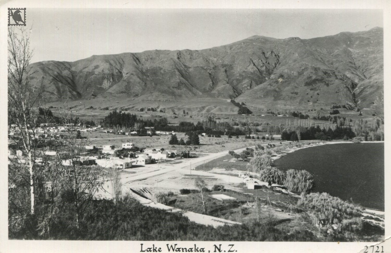
Gigantic glaciers created the neighbouring lakes of Hāwea and Wānaka over 10,000 years ago, long before humans entered into the history of Wānaka. The joining point of those glaciers is now a kilometre-wide expanse of land named the Neck.
The first human settlements near these lakes were Maori summer campsites known as 'kainga'. The Maori fished and hunted for birds around Wānaka, before heading to the 'pounamu' (greenstone) deposits on the South Island's west coast.
The Wānaka area was a cross road where the trails to the West Coast and the Wakatipu diverged. The Maori name for the trail that leads through Haast Pass is Tiora-patea, which means 'the way is clear'. The pass was first used by Maori on their way to the pounamu (jade) rivers of the coast. The Cardrona Valley led to the natural rock bridge "Whatatorere", which was the only place that the Kawarau River and Mata-Au (the Clutha River) could be crossed without boats.
https://www.lakewanaka.co.nz/plan-your-trip/history-of-the-wanaka-region/
