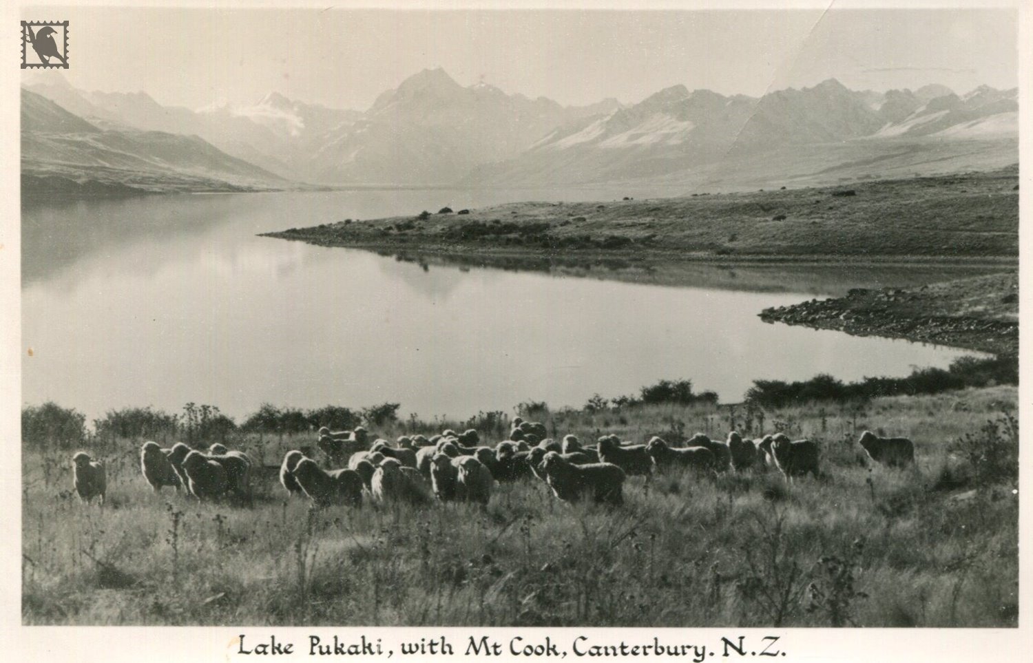
Lake Pukaki is the largest of three roughly parallel alpine lakes running north–south along the northern edge of the Mackenzie Basin on New Zealand's South Island. The others are Lakes Tekapo and Ohau. All three lakes were formed when the terminal moraines of receding glaciers blocked their respective valleys, forming moraine damned lakes.
The lake is now part of the Waitaki Hydro Electric Scheme.The lake's original outflow was at its southern end, into the Pukaki River. The outflow has been dammed, and canals carry water from Lake Pukaki and Lake Ohau through the "Ohau A" power station to Lake Ruataniwha.
The closest town to Lake Pukaki is Twizel 7 kilometres (4.3 mi) to the south of the lake. State Highway 8 skirts the southern end of the lake, and State Highway 80 runs north along the length of its western shore, to Mount Cook Village in the Aoraki/Mount Cook National Park.