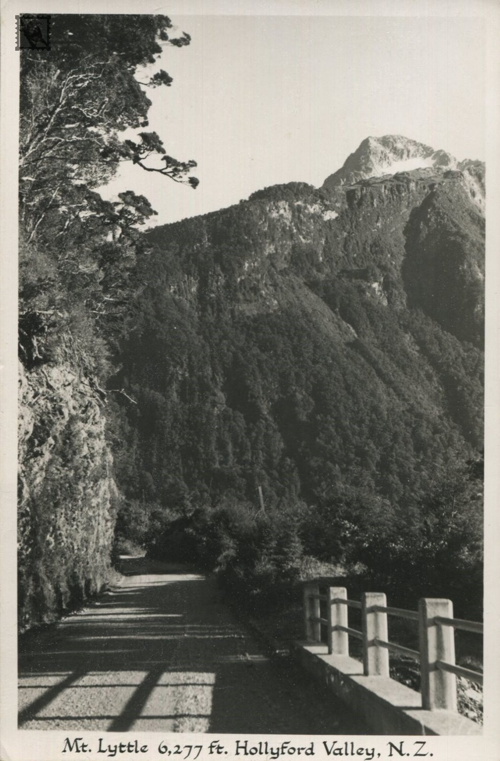
The Hollyford Track is a tramping track in New Zealand. Located at the northern edge of Fiordland, in the southwestern South Island, it is unusual among Fiordland's major tracks in that it is largely flat and accessible year-round. It follows the Hollyford River, which in turn follows the course of the Hollyford Valley.
The Maori people were the first to settle the area around Martins Bay, though by the time of the arrival of Europeans in the mid-19th century, only a handful remained in the area. One of these was Tūtoko, for whom Mount Tutoko, which rises 2700m above the Hollyford valley, was subsequently named.
The first Europeans to reach the bay via an inland route was Patrick Caples from Hollyford County Tipperary Ireland in 1863, although early runholders David McKellar and George Gunn had mapped some of the valley two years previously. Also in 1863, a small ship captained by a Captain Alabaster crossed the sandbar at Martins Bay to reach Lake McKerrow.
In the early days of European settlement, there was much enthusiasm for a commercial port at Martins Bay, led by the Otago Provincial Council. A settlement - Jamestown - was surveyed and several houses built, but the lack of road links to the rest of the province and the dangerous sandbar led to the gradual waning of the settlement, which was practically deserted by 1879, only some eleven years after its founding. Only one family, the McKenzies, remained close to Martins Bay. They sold their property to Davy Gunn in 1926. Gunn continued to farm the area, and also mapped the area and was a pioneer in the tramping tourism industry, taking parties of walkers along the valleys of the Hollyford, Pyke and Cascade Rivers. After his death in 1955, his son Murray continued to guide trampers in the area, and started "Gunn's Camp", a rest-stop for trampers with store and small museum, which still stands near the southern end of the track, around 10 km from the Milford Sound - Te Anau highway. The gravel road was being constructed up until 1941 when the workers were taken off the job for the war effort and was worked on both ends. After World War II the idea of a road linking Haast to Hollyford was reignited to allow access and used prison and unemployed labor to progress the work. In 1960, the valley became part of Fiordland National Park and Davy Gunn's original tracks have since been upgraded and tramping huts established.
https://en.wikipedia.org/wiki/Hollyford_Track