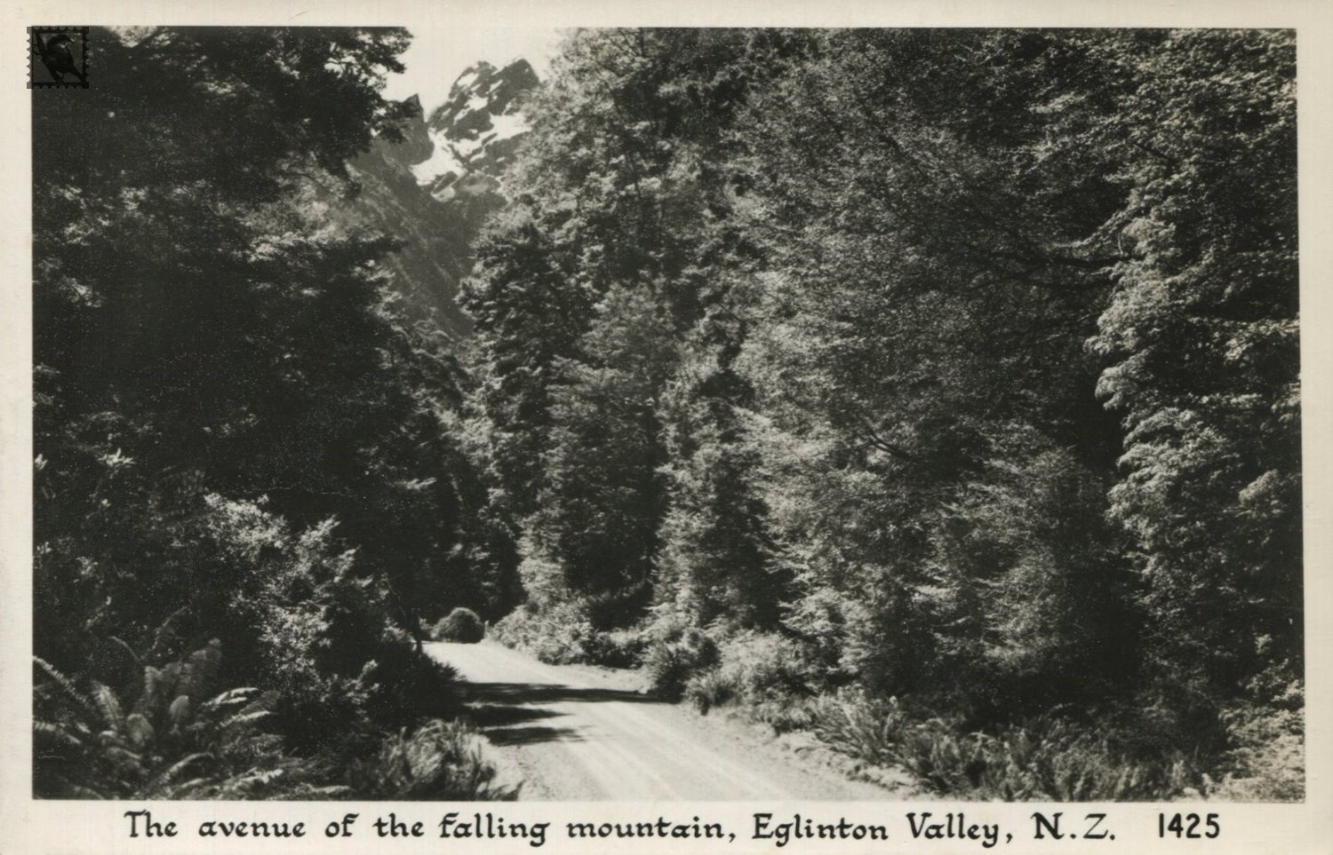
The Eglinton is one of the only road-accessible valleys in Fiordland National Park. State Highway 94 runs through the valley for most of its length, and up to 700,000 people will encounter it on their way to Milford Sound each year.
The first Europeans to view the valley were the Southland runholders — McKellar and Gunn — who in 1861 climbed several peaks in the Livingstone mountains. For many years the valley was remote and known only to trampers, runholders, and deerstalkers. In 1935 the Eglinton Valley road was completed through to the Homer Tunnel, and in the immediate post-war years extended through to Milford Sound. The Eglinton Valley is now a popular scenic, wild-life, and recreational reserve for parties en route to and from Milford Sound. Both deer and pig are plentiful, and the trout fishing in the lakes and river is excellent. Most of the valley is part of the Fiordland National Park, although runholders lease the lower flats for grazing. The only permanent settlement is the Cascade Accommodation House, a few miles below Lake Gunn. A popular walk from the main divide is around the north slopes of the Livingstone Range to Key Summit, which commands an extensive view over the Hollyford Valley and Darran Range. The Eglinton River, Mt. Eglinton, and Earl Mountains were named by the explorer/surveyor, James McKerrow after the Earl of Eglinton.
https://teara.govt.nz/en/1966/eglinton-river