The Canterbury area was long settled before British explorer Captain Cook sighted New Zealand in the 1770s. The vast plains set between the mountains and the sea are patchworked with the patterns of rural life. Hundreds of years ago, Māori moa hunters worked these plains leaving a rock art record of their successes. The Canterbury Plains are New Zealand’s largest area of flat land, with straight roads cutting across a mosaic of paddocks. This area 40 kilometres west of Christchurch where seven roads converge is known as Charing Cross.
Hover your mouse over the image to zoom.
Use the mouse wheel to increase or decrease the zoom level.
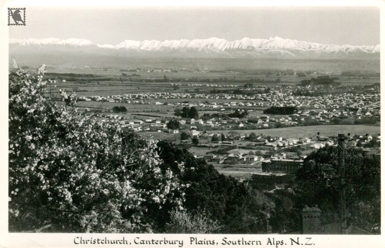
Christchurch View of Canterbury Plains
Postcard Details:
Date Taken:
None Shown
Location:
Christchurch
Province:
Canterbury
Country:
New Zealand
Publisher:
Gladys Goodall
Photographer:
Gladys Goodall
Photographers Card ID:
None Shown